

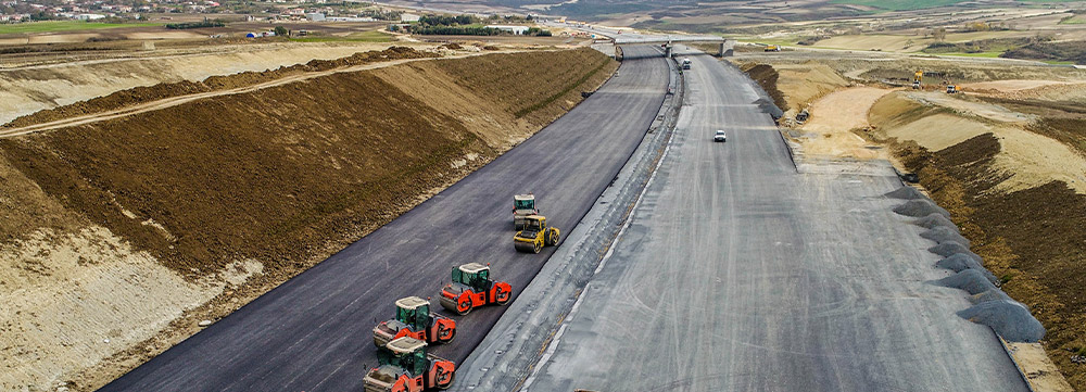
Developed and operated as part of a PPP (Public-Private Partnership) model, the North Marmara Highway was opened to users in a record time of 3.5 years.
The North Marmara Highway, connecting the continents of Asia and Europe, is a high-standard, safe, quality, and uninterrupted transportation investment that will ease the transportation of the Marmara Region, which houses the country’s largest industrial areas. The 4-lane tunnels on the North Marmara Highway are also the widest tunnels in the world.
The highway route, which connects Tekirdağ and Sakarya, merges with the Yavuz Sultan Selim Bridge and Istanbul Airport connection roads, significantly reducing the traffic load on existing transportation networks, especially at the Istanbul Bosphorus crossings, which are operating above capacity.
The 412-kilometer North Marmara Highway starts at the Kınalı Junction in the Silivri district of the European side of Istanbul and ends at the Odayeri neighborhood of the Eyüp district, connecting to the Yavuz Sultan Selim Bridge and including the Istanbul Airport connection roads. Additionally, the North Marmara Highway offers an alternative solution to city traffic through another section on the European side, connecting the Habipler-Hasdal junctions.
The North Marmara Highway continues uninterrupted from the Kurnaköy tolls in the Pendik district on the Asian side of Istanbul to Akyazı. Along this route:
can be easily accessed.